

Three Series of Military Maps Middle East, North Africa & West Asia
A total of 158 rare and out of print military maps from US and Russian sources covering the Near and Middle East, dating from the 1970s, 1980s and 1990s.
Order No.: MAP_119
Status: sold
Price upon request
(1) ONC - OPERATIONAL NAVIGATION CHART
NORTH AFRICA, WEST & CENTRAL ASIA
1:1,000,000
Covering: The Balkans, Black Sea, Caucasus, Central Asia, Maghreb, Mashreq, Arabian Peninsula, Pakistan, West Africa, Sudan, Somalia.
ONC is the standard worldwide small-scale aeronautical chart series which contains cartographic data with an aeronautical overprint depicting obstructions, aerodromes, special use airspace, navigational aides, Maximum Elevation Figures (MEFs), and related data.
Set of 39 Maps
(2) TPC - TACTICAL PILOTAGE CHART
NEAR & MIDDLE EAST
1:500,000
Covering: Black Sea, Turkey, Syria, Lebanon, Iraq, Iran, Afghanistan, Egypt, Red Sea, Arabian Peninsula.
TPC is the standard worldwide medium-scale aeronautical chart series which provides essential cartographic data appropriate to scale, and are overprinted with stable aeronautical information such as contour lines, obstructions, special use air-space, navigational aids, and related data.
Set of 32 Maps
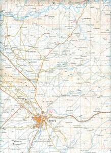
(3) RUSSIAN TOPOGRAPHICAL MILITARY MAPS
IRAQ
1:200,000
Topographic Military Maps, published by the Soviet General Staff between 1972 and 1991
Set of 87 Maps